


The Corsican Regional Natural Park and Rotondu Nature Reserve: 2 strong partners

Parc Naturel Régional de Corse
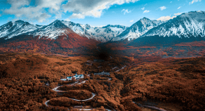
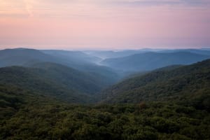
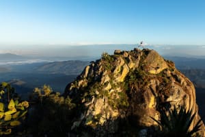
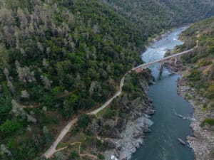
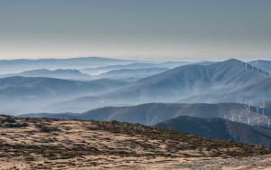
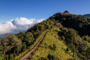
The PNRC, a territory first classified in 1972 and governed by a charter renewed every 15 years, now covers more than half of the island, with an area of 450,000 hectares and approximately 60,000 inhabitants. Institutionalized as a joint association, it brings together the Collectivité de Corse and the 178 municipalities within its territory. Straddling the great mountainous ridge that sweeps the island from northwest to southeast and culminates at Monte Cintu (2,706 m), the Parc de Corse–Parcu di Corsica is primarily a rural, village, and mountain park, although it also includes maritime facades with the grandiose and wild western shores of the Gulf of Porto Girolata and a sample of the lagoon ponds of the eastern coast. Its vast territory encompasses the highest peaks of the island and a multitude of compartmentalized valleys forming micro-regions, formerly called Piève.

Riserva Naturale di u Monte Ritondu
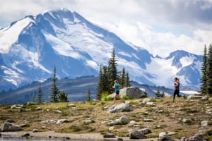
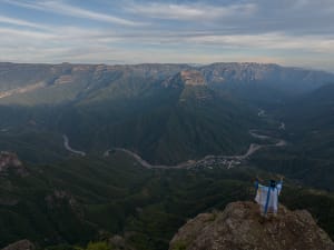
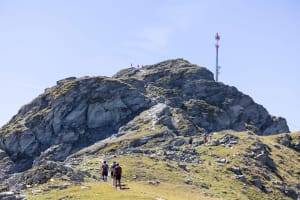
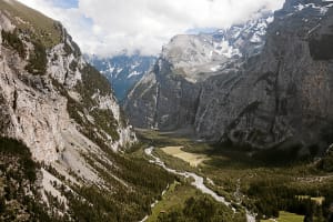
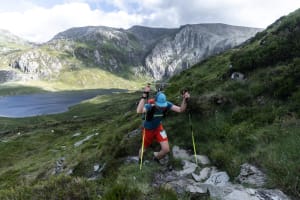
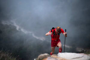
The Monte Ritondu (Mont Rotondo) nature reserve covers 3,135 hectares in the municipalities of Corte and Venaco and includes the high valleys of Restonica and Verghellu. Located in the heart of Corsica, culminating at some 2,622 meters above sea level at the summit of Monte Ritondu, it is one of the largest massifs on the island and the second highest. It includes the majority of Corsica's high-altitude lakes, and a large part of the remarkable fauna and flora linked to mountain ecosystems. It represents a coherent and functional ecological territory.
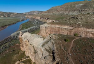
In the Restonica valley, the perimeter includes the catchment areas of the lakes of Oriente, Cavacciole and Scapucciole, Rinosu, Capitellu and Melu, as well as the Restonica catchment area upstream of the Melu sheepfold. Regarding the municipality of Venaco, the catchment area of Lake Bellebone, head of the Manganellu valley, is included in the perimeter, as well as the very high Verghellu valley. This territory is delimited by the ridges of Petra Niella in Monte Cardu, up to Punta di Ciaccone for the northern part, then by the ridge of Spoletto to the Vachereccio bridge in its eastern limit. To the south, the site is bounded by the Verghellu stream, up to the Petra Niella ridge on the western side.